Select Projects
- All
- Surveying
- Lidar
- Software Development
- Research
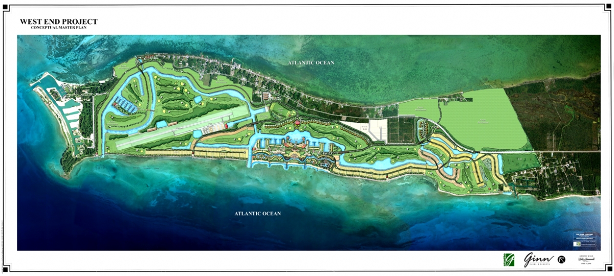
Ginn Sur Mer
Surveying
2004 | $4.3B | Ginn Sur Mer
Boundary, As-Built, Topographic, Bathymetric, Airport, and Construction Statekout services for the massive Ginn Sur Mer land development project on Grand Bahama Island. Our survey crew cut project schedules in half for our contract, which included the Boundary Survey, Topographic Survey and Stakeout phases of construction.

Royal Island
Surveying
2005 | $130m | Royal Island
Master planned Jack Nicklaus Golf Course and the largest natural deep water port in the Bahamas. Located on remote Royal Island in the Bahamas, which required daily ferry charter for crew of 10. Responsible for 8 laborers and quality assurance of secondary crew's field work [Boundary, Topo and Stakeout].
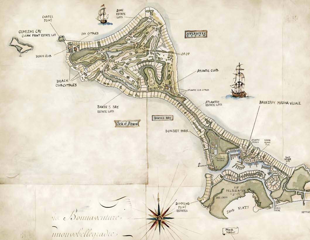
Baker's Bay
Surveying
Baker's Bay
Lead Surveyor on land development project with two survey teams totaling 13 members. Baker's Bay is a Luxury Real Estate development with a large, man-made Marina, Golf Course and resort facilities located on Great Guana Cay in the Bahamas. [Boundary, Control, Topo and Stakeout]
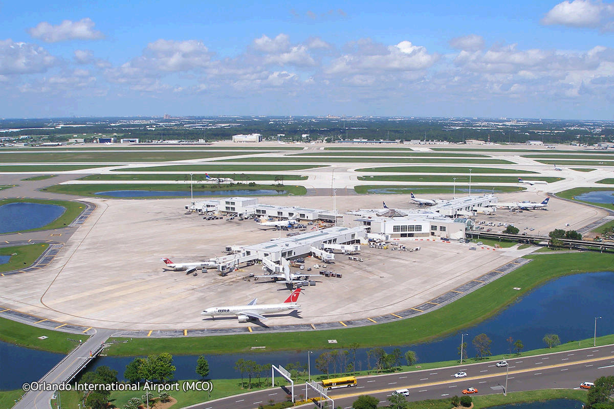
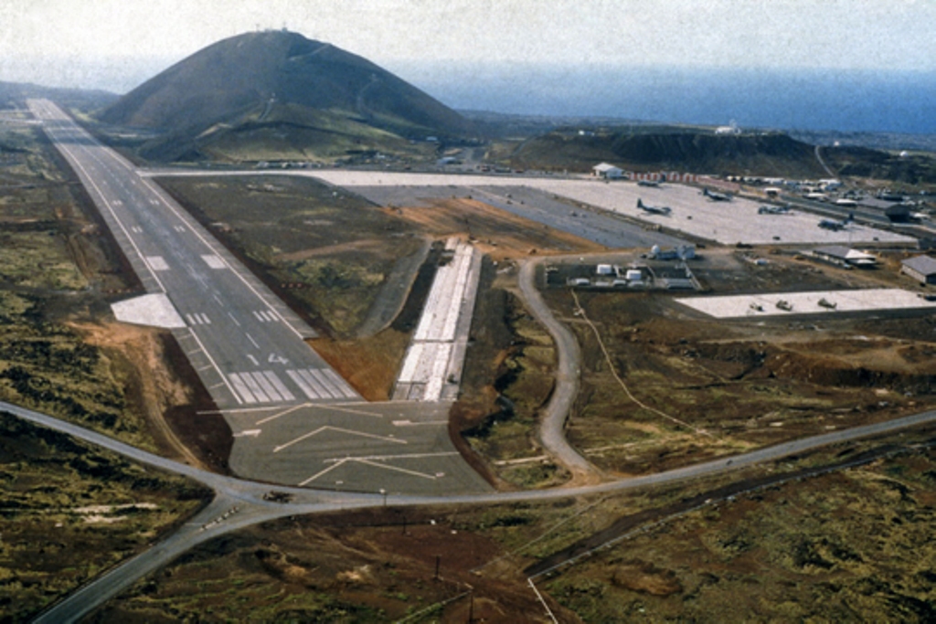
Orlando Intl Aiport
Surveying / Laser Scanning
2008 | $1.3m | Orlando Intl Taxiway C Rehab
Set project control and direct georeferenced reference targets for Taxiway Rehabilitation As-built survey using Laser Scanning. Project was the first of its kind in the region to utilize Terrestrial Laser Scanning for airport surveying.
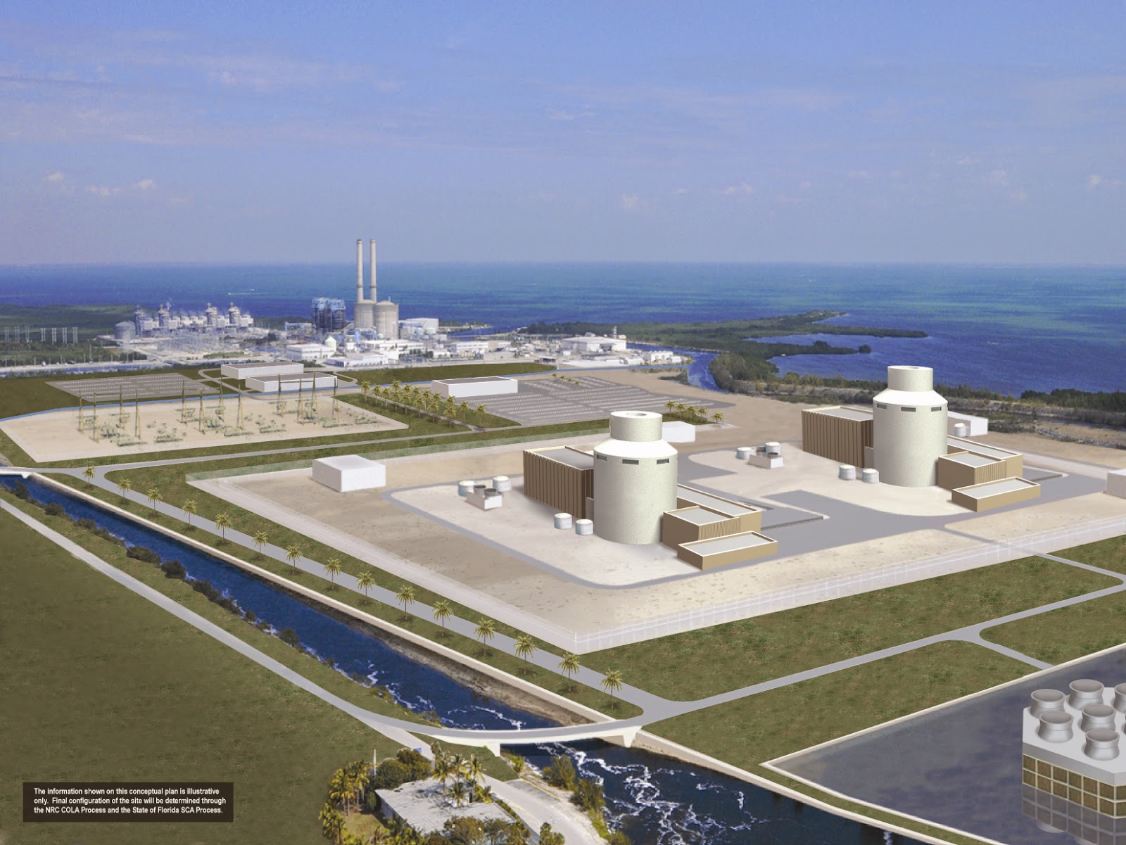
Turkey Point Nuclear Power Plant
Surveying
2008 | $1B | Turkey Point Nucler Power Plant: Reactor 6 and 7
Established primary site control network, mapped topography and staked-out core borings for Reactor 6 & 7 with stringent quality control.
Ascension Island Airfield
Surveying
2008 | Ascension Island Aux. Airfield
Ascension Island is located in the Atlantic Ocean, approximately half-way between Brazil and Africa. Provided utilities survey for Air Force base facilities. Unique location is home to one of the few GPS Telemetry sites in the world.
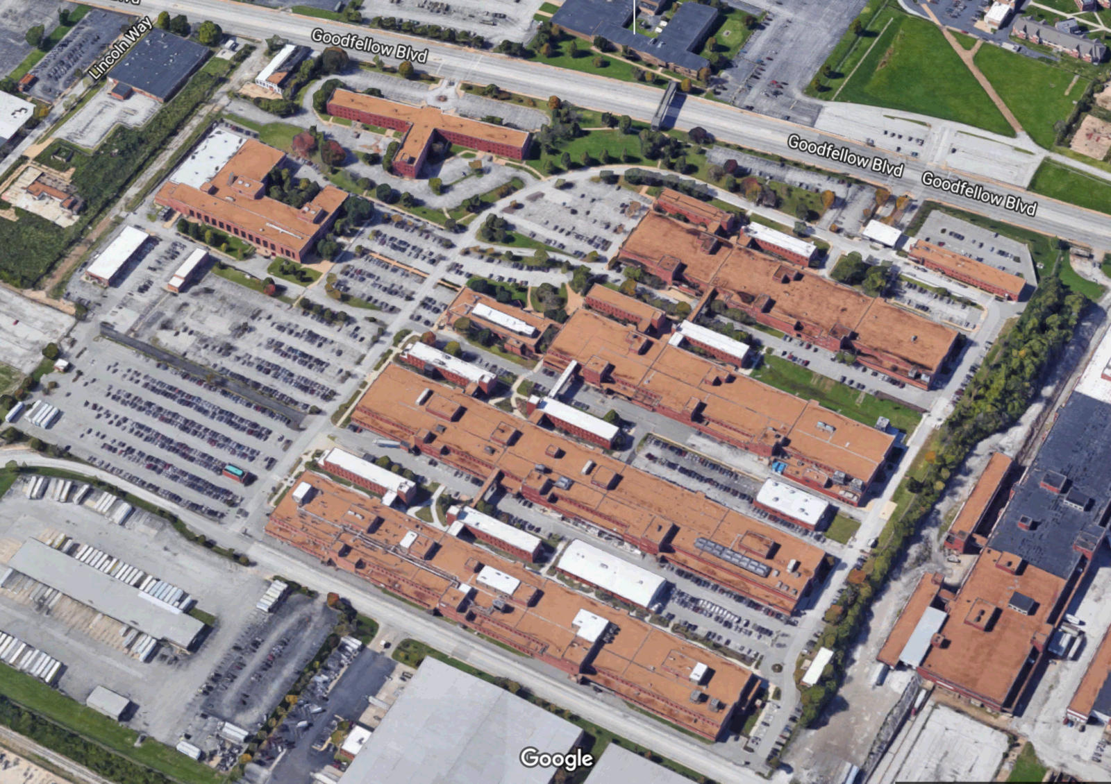
2009 | Goodfellow Federal Center
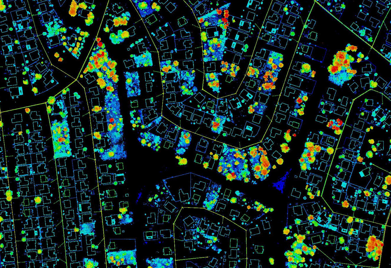
Lidar
2009 | Goodfellow Federal Center
Scanned 60+ acre federal complex in St. Louis, Missouri with a Certainty3D TopoLift and RIEGL VZ-400. Complete Site captured in 5 days.
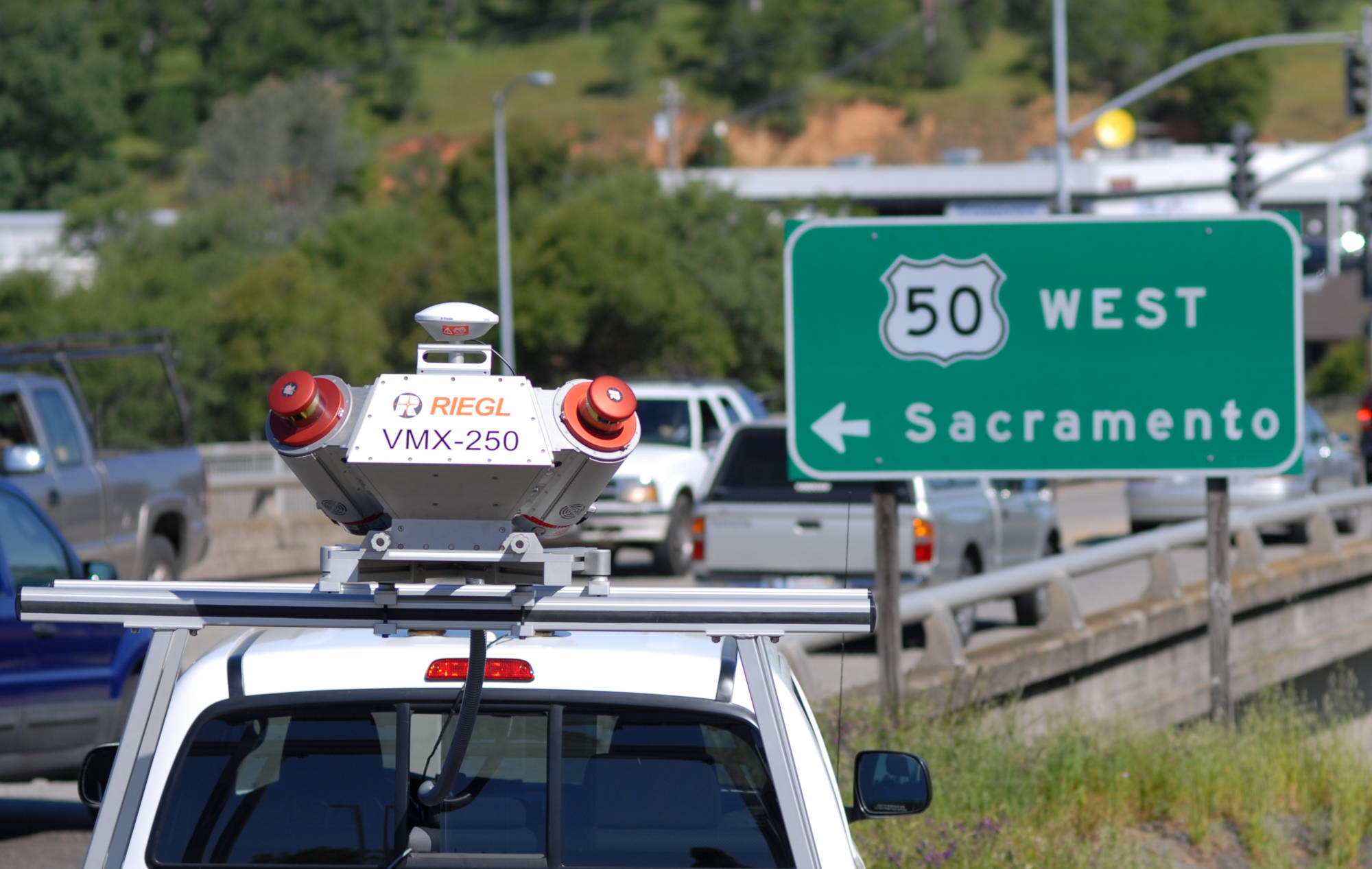
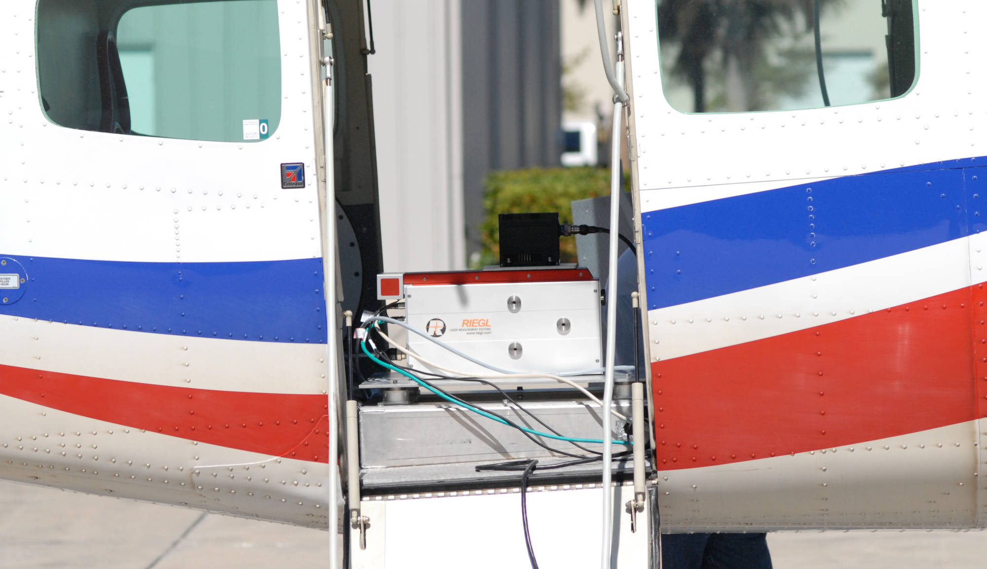
VMX-250 Mobile Projects
Lidar
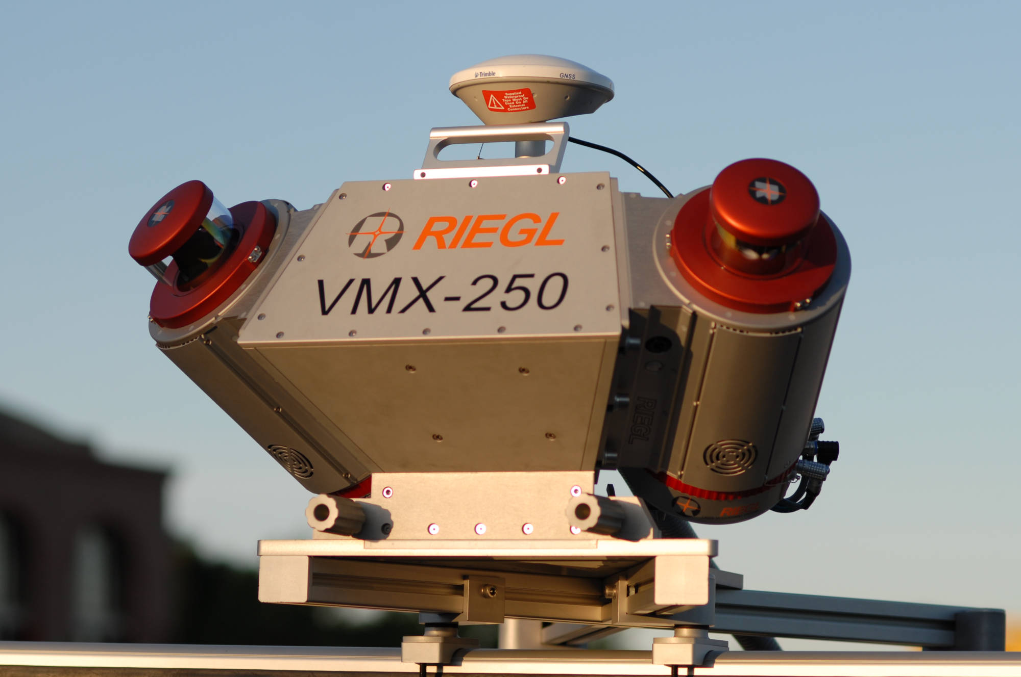
2010 | First VMX MLS Project in North America
Executed first real-world VMX mobile scanning project in North America as a performance demonstration of the VMX-250 for REY Engineering in Folsom California.
Airborne Lidar Accuracy Assessment
Research
2010 | Airborne Lidar Accuracy and Error Assessment
Executed quantitative analysis of airborne lidar data accuracies using Terrestrial Lidar data as a baseline for comparison. Teamed with Vladimir Kadatskiy and ACA for ALS portion of project.

Waldorf Astoria
Lidar
2010 | Waldorf Astoria Facade Scanning
Performed 100 scans project in 2 days of the Waldorf Astoria exterior as a technical demonstration for Bowman Consulting Group. Pioneering work using Laser Scanning for facade monitoring.
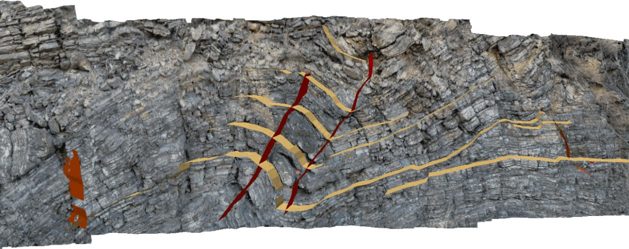
Scanning Geological Applications
Research
2011 | Advanced Applications of Scanning in Geology
Forward-looking paper on technical applications for laser scanning in the field of geology. A number of test cases were performed to establish application viability for this purpose.
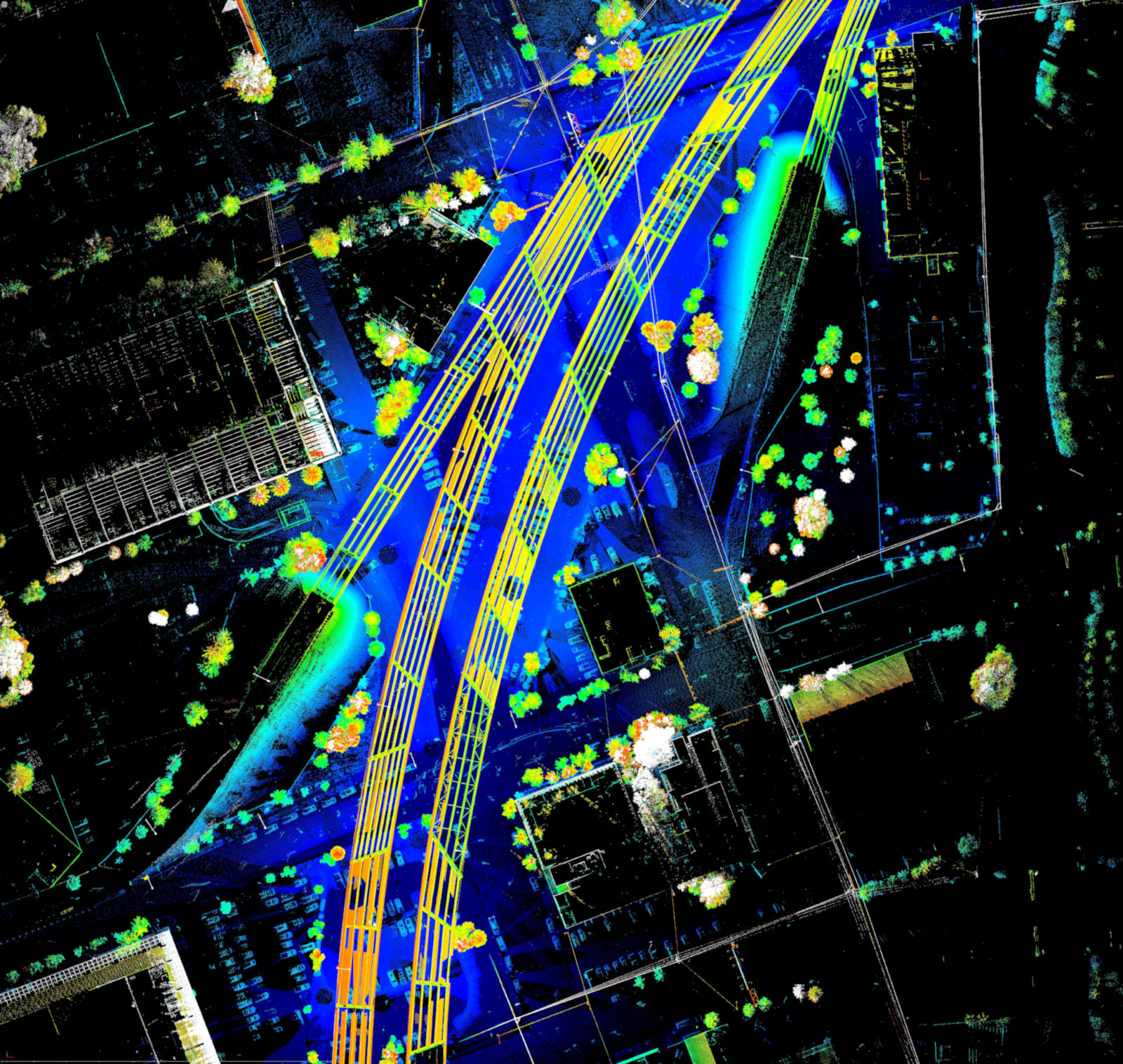
Selmon Expressway Scan
Lidar
2011 | Selmon Expressway Asbuilt, Tampa, Florida
Scanned the underside of elevated freeway as support for client Volkert Engineering in Tampa, Florida. Utilized novel new workflow designed to achieve record scan coverage on foot.
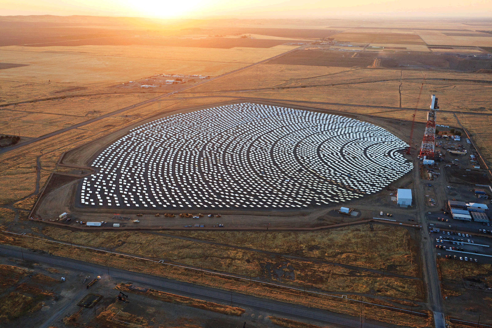
Coalinga Solar Power Plant
Lidar
2011 | Coalinga Solar Power Plant
Supported Israeli solar energy company BrightSource energy and their consultant, Mabat3D with the utilization of Terrestrial Lidar for the purpose of calculating the orientation of individual mirrors in a massive mirrored array (x number of mirrors). The mirror-field is used to reflect the sun's energy onto a receiver tower for the purpose of producing steam energy. This site was the demonstrator for the larger, and more famous 'Ivanpah' solar array built by the same company in Southern California.
VQ-820-G Bathy Performance Testing
Lidar
2012 | VQ-820-G Performance Testing
Established control and acquired Terrestrial scans as baseline for Airborne Bathymetric data in support of VQ-820-G live performance demonstration. Took part in processing and presentation of data results to live audience. A groundbreaking demonstration that achieved its goal of convincing federal agencies to acquire the technology.
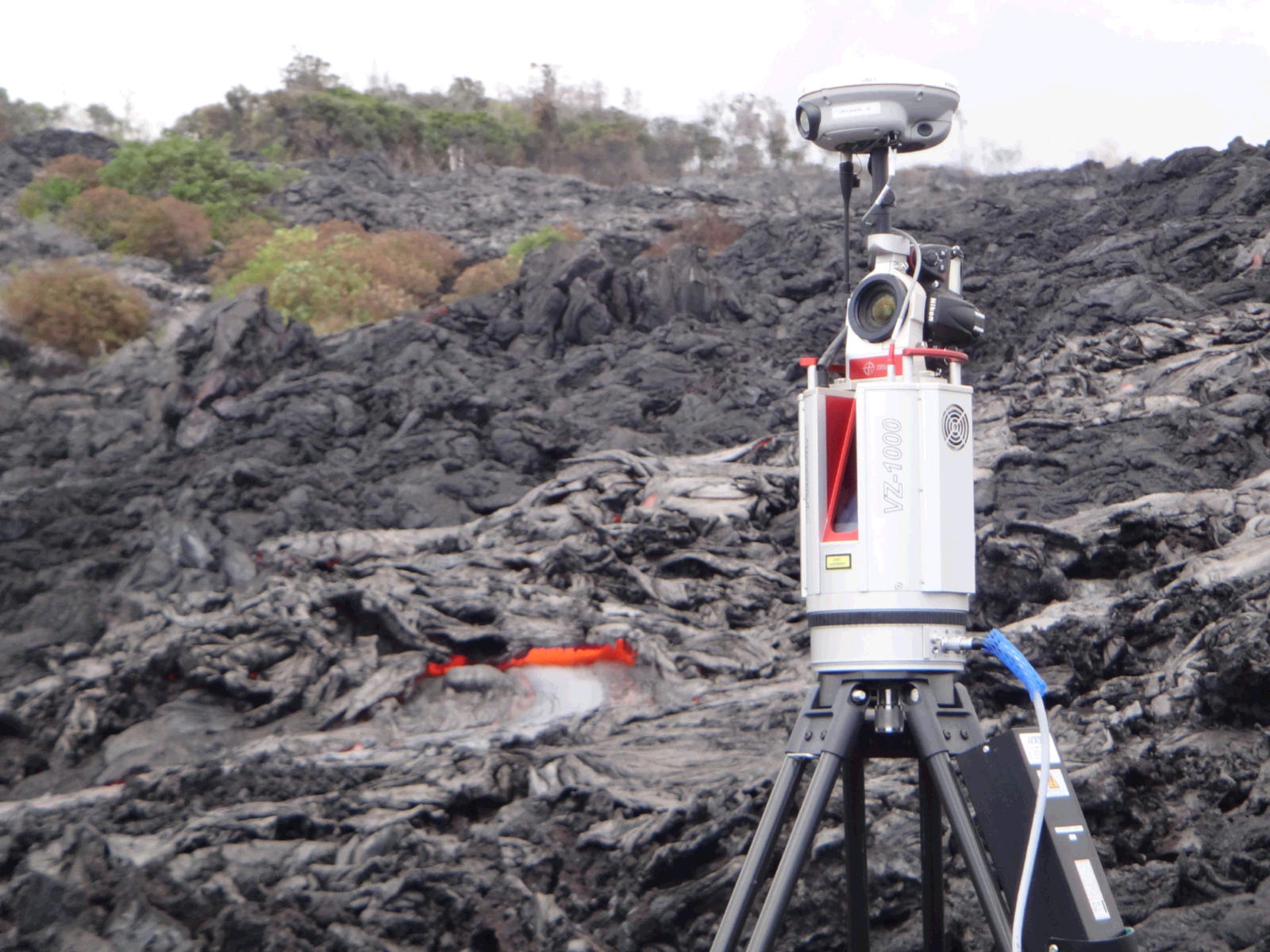
Hawaii Lava Scanning
Research
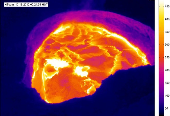
2012 | Hawaii Lava Time-lapse Scan
Provided expert technical support for field campaign with the US Army Corps of Engineers Cold Regions Research and Engineering Department (CRREL) where active lava flows were acquired with automated time-lapse scanning using a VZ-400.
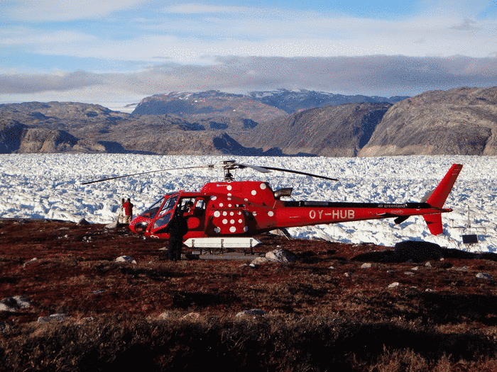
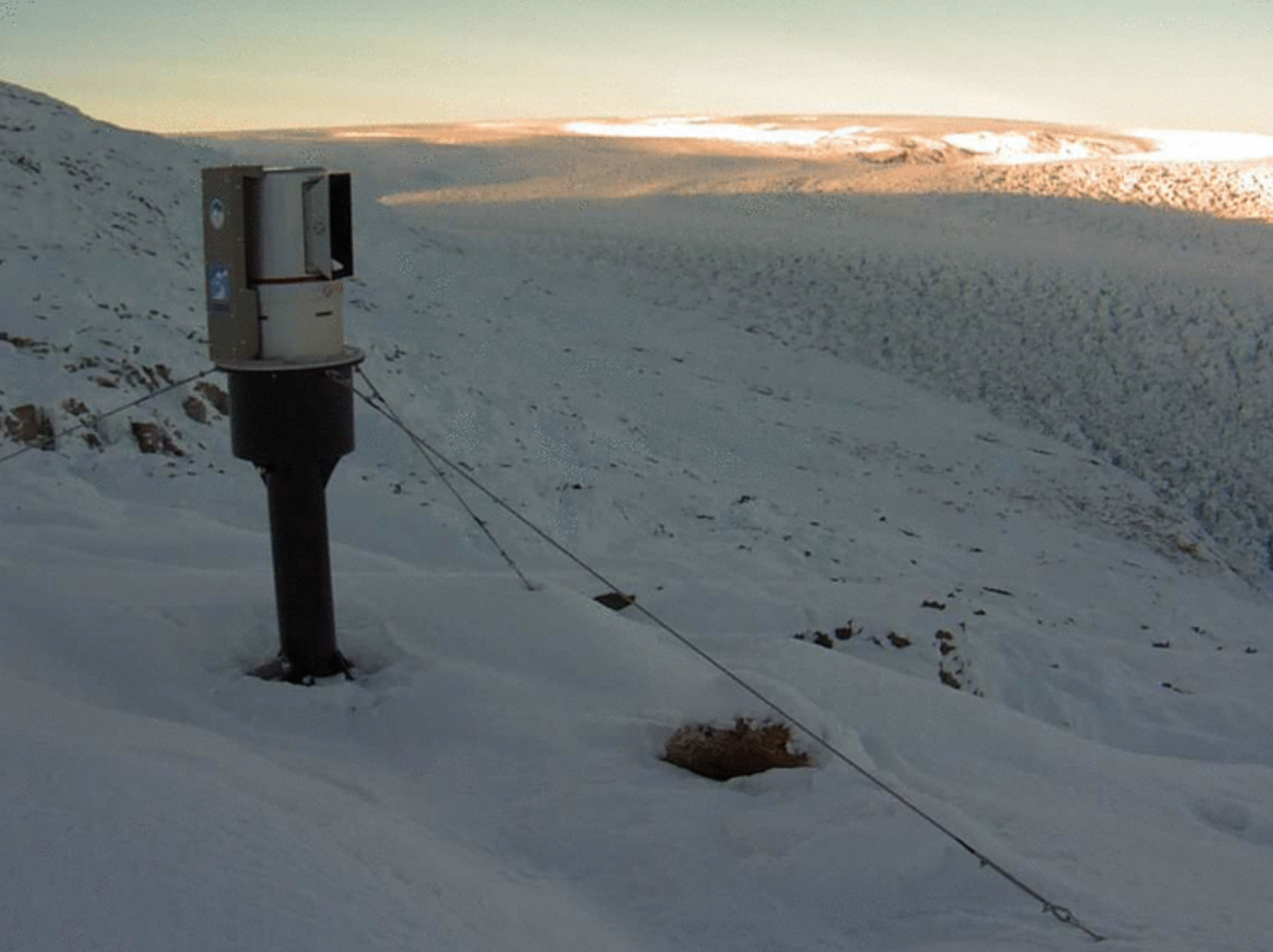
Helheim Glacier
Lidar
2012 | Helheim Glacier VZ-6000 Time-lapse Scan
Traveled with University of Maine research team to Helheim Glacier, a 6km wide glacier, to provide advanted technical support utilizing first laser scanner to measure 6km, the VZ-6000.
RIEGL RiSOLVE
Software Development
2013 | RIEGL RiSOLVE Software
Designed and managed development of RiSOLVE, the world’s first software to fully automate outdoor Terrestrial scan data registration, colorization (from simultaneously captured images) and plot generation. Initially designed for police investigating traffic collisions, the software has seen adoption by a larger field of applications and is a commercial success for RIEGL.
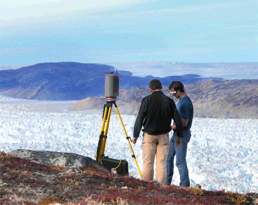
Arctic Monitoring System
Lidar
2013 | Arctic Lidar Monitoring System - Greenland
Served as technical liaison and expert field support for the USACE CRREL and RIEGL LMS Development teams on the world’s first permanent Arctic Lidar Monitoring System, which was deployed at Helheim Glacier in 2013 and is still in operation, with more units planned for the future.
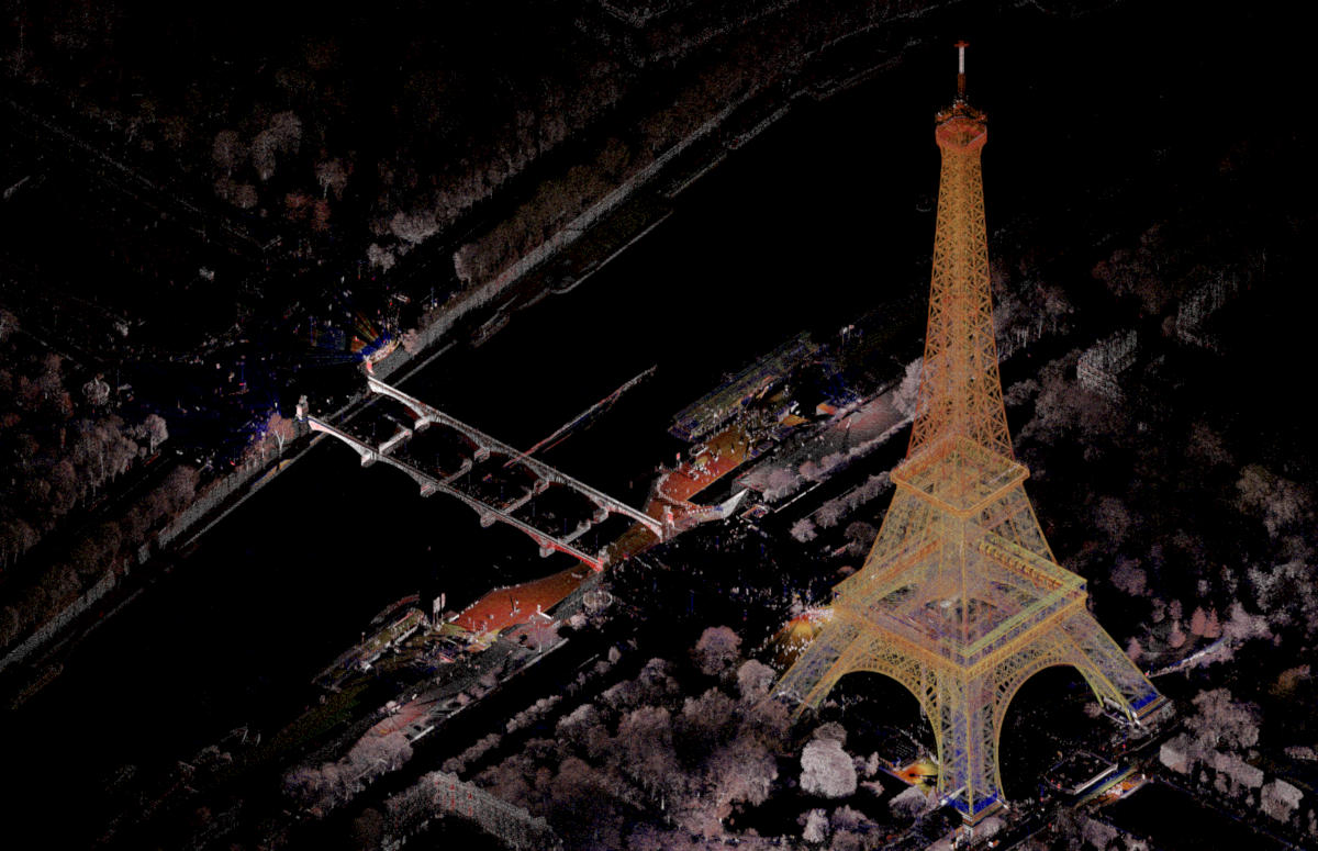
Eiffel Tower
Lidar
2013 | Eiffel Tower Scan
While traveling to Paris in support of a customer producing Asbuilts for Nuclear Power Plants, I made an excursion to scan the Eiffel Tower. Using coins for a tripod, and carrying the VZ-400 laser scanner in an I heart Paris backpack to prevent crowds from gathering.

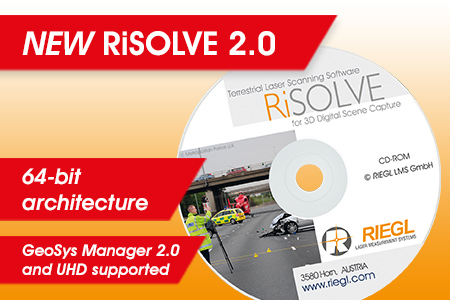
GeoSysManager 2.0
Software Development
2013 | GeoSysManager 2.0
Spearheaded project to modernize GeoSysManager, RIEGL's georeferencing software. Successful project enabled expanded Coordinate Reference System definitions and enabled georeferencing capabilities in RiSCAN PRO, RIEGL's Terrestrial Laser Scanning Software Package.
RiALITY
Software Development
2014 | RiALITY App
Oversaw unique app designed to provide visualization of RIEGL point clouds using augmented reality on iPads and Android Tablets. [Android version was never officially released]
RiSCAN PRO 2.0
Software Development
2014 | RiSCAN PRO 2.0
Fully responsible for modernizing TLS Software, which entailed payment of ‘development debt’, streamlining GUI, enabling DPI support (redesign of GUI elements) and modernization to 64-bit architecture.
Radar vs Lidar for Monitoring
Research
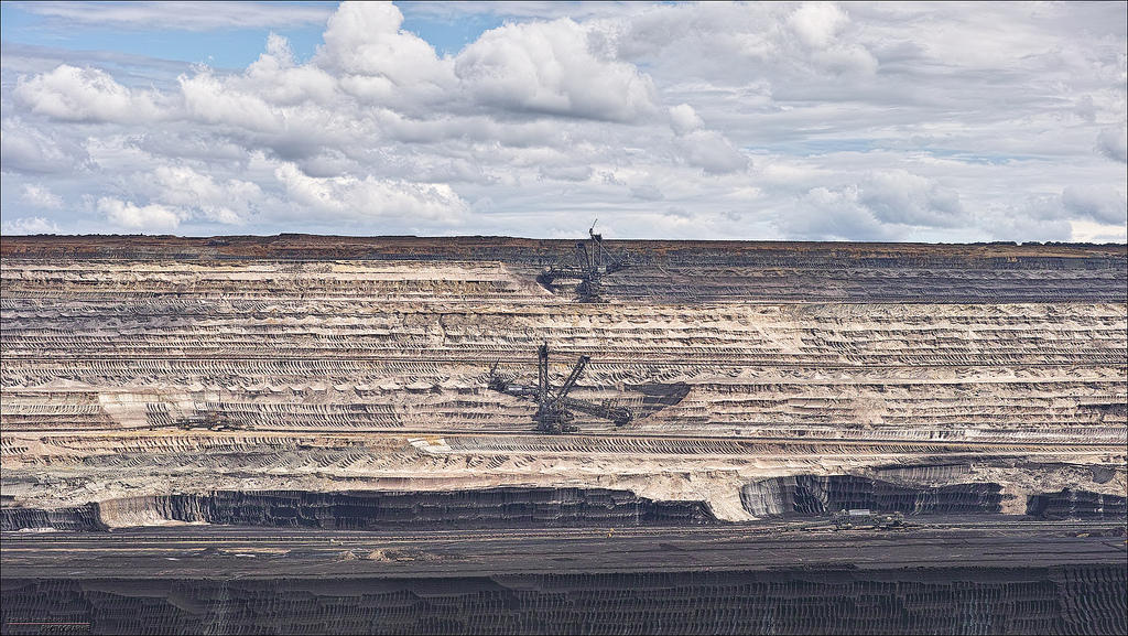
2014 | Terrestrial Radar vs Lidar for Slope Monitoring
Coordinated and led team in conducting pioneering, slope monitoring project. Utilized a RIEGL VZ-4000 simultaneouslly with an IDS Radar system and Leica Total Station for slope monitoring of a soft-rock mine. Through post-processing, performed analysis of stability, accuracy and repeatability results on a soft-rock surface. Demonstrated 3.7mm precision at ranges of 2km and change detection of 5cm displacement with high degree of repeatability.

RDB 2.0
Software Development
2015 | RDB 2.0
RDB 2.0 embodies the database format RIEGL uses for all scanning products once they are converted from the 'raw' RXP format. Organized, scheduled and provisioned resources to help deliver RIEGL’s latest generation of point cloud data storage technology, which is utilized in nearly every RIEGL Software Product.
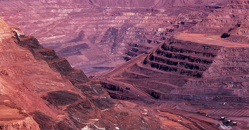
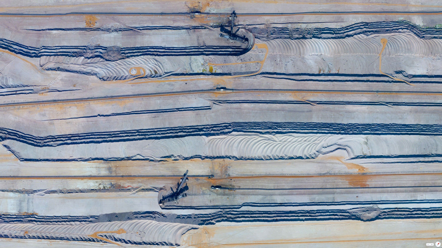
Hard Rock Slope Monitoring
Research
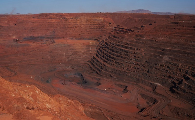
2015 | Slope Monitoring Field Study
Conducted extensive long-range hard rock monitoring project with RIEGL VZ-4000 Scanner in cooperation with BHP Billiton in Western Australian Whaleback Minesite.

TLS Software Architecture
Software Development
2016 | Software Architecture Advancement
Initiated architectural roadmap change from monolithic software to bundle set of core libraries. RiSCAN PRO 2.2 represents first generation of RIEGL Software deliver features developed with this new architecture. Some VZ-400i real-time processing features utilize this architecture.
Contact
-
+43 68864713780
-
fowler(at)geohawk.com